

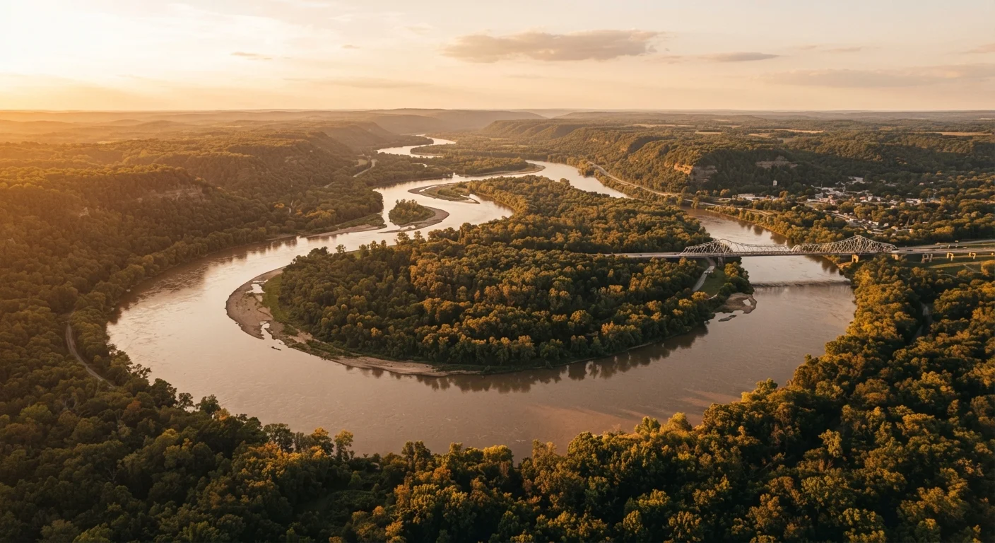
What the Great River Road Actually Is
The Great River Road is a federally designated National Scenic Byway — and at roughly 3,000 miles, it's one of the longest in the country. It traces both banks of the Mississippi River through ten states: Minnesota, Wisconsin, Iowa, Illinois, Missouri, Kentucky, Tennessee, Arkansas, Mississippi, and Louisiana. The route doesn't follow a single highway; instead, it's a collection of state roads, county routes, and local streets that hug the river as closely as terrain permits.
If you're new to the concept of scenic byways, understanding the official framework helps clarify what federal and state designation actually means in practice — including signage consistency and amenity standards.
The route is marked by a green pilot's wheel logo, though sign density and road conditions vary considerably by state. Travelers should expect some navigational effort, particularly in rural stretches.
Segment by Segment: What Each Region Offers
Northern Headwaters (Minnesota): The Mississippi begins modestly at Lake Itasca, where you can wade across it in seconds. The northern Minnesota stretch passes through pine forests, small river towns, and lock-and-dam infrastructure that reveals how heavily the river is managed. This segment suits travelers drawn to quiet natural scenery.
Upper Mississippi (Wisconsin, Iowa, Illinois): Dramatic limestone bluffs define this stretch. Towns like Galena, Illinois and Dubuque, Iowa preserve 19th-century river commerce architecture. Bald eagle sightings are common in winter months. This is arguably the most visually varied portion of the route.
Middle River (Missouri, Kentucky, Tennessee, Arkansas): The river widens considerably here. The Missouri side includes the Gateway Arch in St. Louis — a genuine landmark worth a stop. South of Memphis, the landscape flattens into the Delta, where the cultural weight of blues music, civil rights history, and agricultural heritage is palpable.
Lower Mississippi (Mississippi, Louisiana): The final states deliver antebellum plantation history, Cajun food traditions, and the sprawling wetland approaches to New Orleans. The city itself marks an informal southern terminus before the river fans into the Gulf. For travelers curious about continuing along the coast, the Gulf Coast route picks up where the Mississippi corridor ends.
Comparing Routes: Mississippi vs. Gulf Coast
The Great River Road and the Gulf Coast highway share Louisiana as a meeting point but offer very different experiences. The river route is interior, history-dense, and geographically varied. The Gulf Coast route emphasizes coastal scenery and seafood culture. Some travelers combine both into a broader southern loop — but each rewards dedicated attention on its own terms.
Practical Considerations Before You Go
Most drivers tackle the route in segments rather than end-to-end. A full north-to-south drive, even moving efficiently, typically takes two to three weeks to do meaningfully. Many travelers choose a single state or a three- to four-day slice aligned with a particular interest — history, food, birding, or architecture.
Seasonal timing matters. Spring brings flooding risk in low-lying areas, and some river access roads may close. Summer offers full foliage and active small-town festivals but also heat and humidity in the southern states. Fall is widely considered the most comfortable season for upper-river driving. Winter is cold but rewards travelers with uncrowded roads and excellent bald eagle viewing near open water.
Navigation apps don't always track the byway accurately — carry a state-by-state byway map or download the official Great River Road mobile guide before departure. If this is your first extended US road trip, a structured approach to route planning can make the logistics far less daunting.
Accommodation ranges from national chain hotels in larger cities to small river-town inns and state park campgrounds. Booking ahead is advisable in fall foliage season and around regional festivals. Always verify road conditions and any seasonal closures with state DOT websites before setting out, as conditions along the river corridor can change quickly.