

Key Takeaways
Why the Desert Demands a Different Planning Mindset
The Southwest corridor — think the arc from Southern Utah through Arizona, New Mexico, and into the Mojave and Sonoran deserts — ranks among the most awe-inspiring stretches of road in the United States. It also punishes the underprepared with a consistency that every seasoned desert traveler respects. Heat, distance, and isolation form a triad that can turn a minor inconvenience into a genuine emergency faster than almost anywhere else in the country.
Planning a desert road trip isn't complicated, but it is different. The same casual approach that works fine on the East Coast or Pacific Northwest can get you into serious trouble in a landscape where the nearest gas station might be 60 miles away and afternoon temperatures routinely exceed 110°F. If you're building your overall itinerary, the guidance in Building an Itinerary That Won't Burn You Out is especially relevant here — desert travel genuinely requires buffer time baked in.
What you will need
Choosing Your Window: Seasonal Timing Explained
Timing is the single highest-leverage decision in Southwest desert travel. The seasons break down roughly like this:
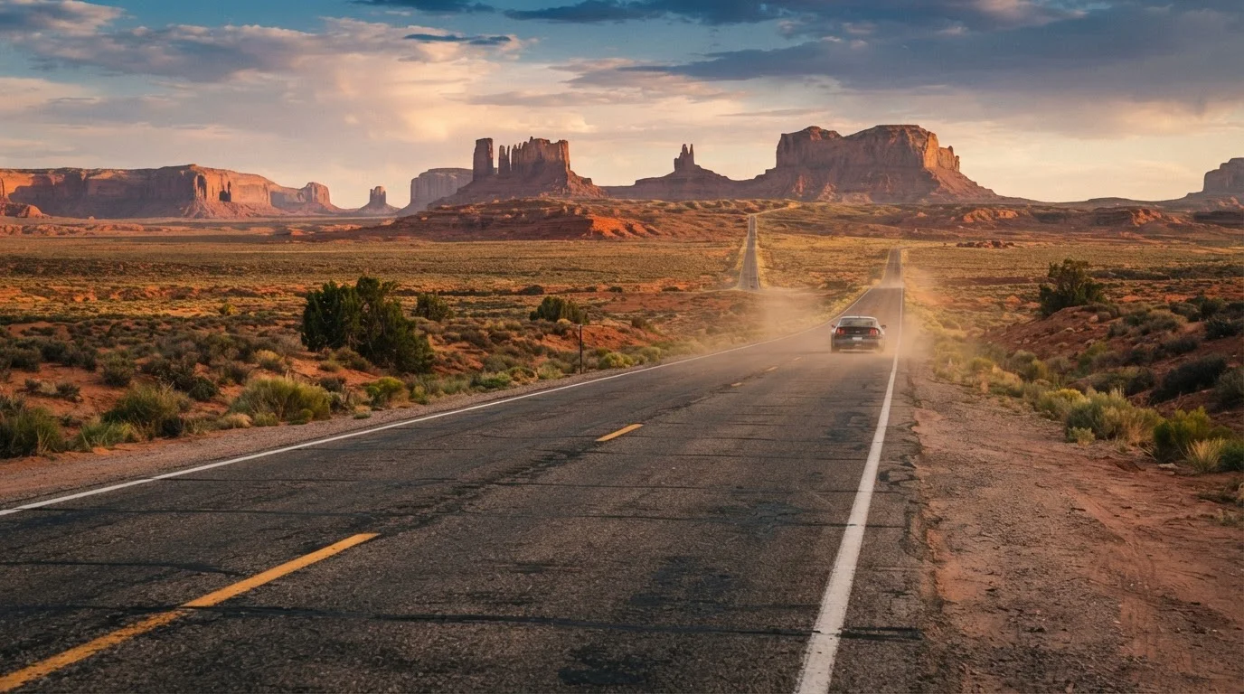
- March through May (Spring): The most forgiving window. Daytime temperatures in popular corridors like Monument Valley, the Grand Canyon's South Rim, and the Utah canyon country often sit between 60°F and 85°F. Wildflower blooms can be extraordinary in years with good winter rainfall. Expect crowds at major park entrances, particularly around spring break weeks.
- June through August (Summer): Low-elevation desert floors regularly hit 105–115°F. Death Valley frequently records the highest reliably measured air temperatures on earth during this period. Driving at midday is uncomfortable at best and dangerous at worst — engine cooling systems, tires, and humans all suffer. If summer is your only option, commit to a strict schedule: move early morning, rest during peak heat, drive again in early evening.
- September through November (Autumn): Arguably the best season for serious exploration. Heat drops to manageable levels, crowds thin, and the light quality in canyon country is exceptional. October and November can bring cold nights at elevation — plan layers.
- December through February (Winter): Lower-elevation deserts can be pleasant, but mountain passes and higher-elevation routes (including parts of US-89 and mountain roads into Zion or Bryce) may see snow and ice. Check road conditions actively.
Autumn Light Is Worth the Wait
If your schedule has any flexibility, late September through October delivers desert conditions that spring can't quite match — lower crowds, dramatic canyon light, and comfortable daytime temperatures. Many experienced Southwest travelers consider October the single best month across the entire corridor.
Heat, Hydration, and the Human Factor
Desert heat is not an abstraction — it requires active management. The general guidance from public health and wilderness safety sources is to drink at least one liter of water per hour during physical activity in extreme heat, though your own needs vary by body size, exertion level, and acclimatization. The practical minimum for a desert road trip is to carry far more water than feels necessary: a common recommendation is one gallon per person per day, not counting vehicle cooling contingencies.
Electrolyte replacement matters alongside hydration — water alone doesn't address mineral loss through sweating. Pack electrolyte tablets or powder as a lightweight backup.
Heat Illness Escalates Quickly
Heat exhaustion and heat stroke are medical emergencies, not discomforts to push through. Symptoms of heat stroke — confusion, lack of sweating, rapid heartbeat, hot dry skin — require immediate cooling and emergency medical attention. If anyone in your vehicle shows these signs, get to shade and call for help immediately. This content is general travel safety information, not medical advice; consult a healthcare professional with any personal health concerns before traveling in extreme heat.
Never leave children or animals in a parked vehicle. Interior temperatures can reach life-threatening levels within minutes, even in moderate ambient heat. If you're travelling with a pet, the specific risks and mitigation strategies in Travelling with a Pet: Planning for Their Comfort and Safety are worth reading in full before you depart.
Vehicle Readiness and Fuel Strategy
Your vehicle is your life support system in the desert. A complete pre-departure review is non-negotiable — see the Car Readiness Before a Long Road Trip for a structured walkthrough. For desert conditions specifically, pay particular attention to coolant levels, radiator condition, tire pressure (heat increases tire pressure — check cold in the morning), and whether your AC system is functioning properly.
Fuel planning in the desert is its own discipline. It's not unusual to encounter 60–80 mile stretches between open fuel stations on routes through Nevada, southeastern Utah, or the Arizona strip. Why Road Trippers Keep Getting Fuel Planning Wrong covers the common errors in detail — but the short version is: refuel whenever you're at or below half a tank, and map your fuel stops before leaving each town. Don't rely on phone service to find stations in real time.
A satellite communicator (such as a personal locator beacon or a two-way messaging device) is worth serious consideration for remote routes. Cell coverage is genuinely absent across large portions of the corridor. For a broader first-timer's framework, Planning Your First US Road Trip Without Overcomplicating It offers solid foundational context.